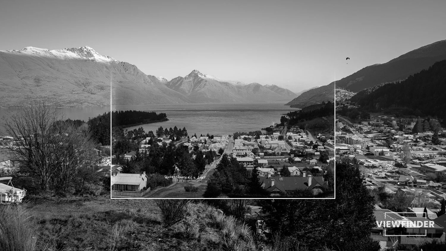
Roy’s Bay from Mount Iron, 1936
Photographed in 1936, this panoramic view from Mount Iron looks west across Roy’s Bay toward the township of Wānaka (then known as Pembroke). The image captures the area in its early years of development, when scattered homesteads and farmland still dominated the lakeshore. Today, this same vantage point remains one of Wānaka’s most recognisable outlooks, framing the township against the dramatic backdrop of Roys Peak and the Southern Alps.
About Mount Iron
Rising 240 metres above the Wānaka basin, Mount Iron offers a natural lookout over Roy’s Bay, the Clutha Valley, and the Southern Alps. Formed by ancient ice movement, its distinctive shape and panoramic views have made it a landmark of the region since the earliest days of settlement. Today, the summit track is one of Wānaka’s most popular short walks.
About the Viewfinder Series
Viewfinder reimagines historic photographs, aligning past and present to reveal how our landscapes evolve over time.

Featured Image
Auckland Libraries Heritage Collections AWNS-19360708-56-02
Purchase prints from the collection
Support the Viewfinder project by purchasing a high-quality fine art print.
All purchases help fund future explorations and new additions to the series.

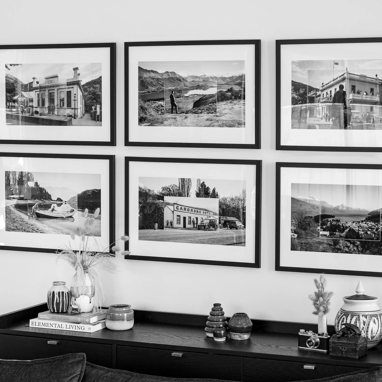
View more images from the project
Continue exploring the Viewfinder series through other towns, landscapes, and architectural landmarks by using the links below.
Each photograph in the collection pairs a century-old view with its modern counterpart, revealing both the constants and the changes that shape our landscape.